- This 'loop' is really more of a 'triangle' when you look at it on the map since it consists of three primary sections: Lake Ozette Ranger Station to Cape Alva, Cape Alva to Sand Point and the Sand Point back to the Lake Ozette Ranger Station.
- The hike is mostly flat - it has a few short ups and downs, but the topography between Lake Ozette and the Pacific Ocean is free of any sizable hills.
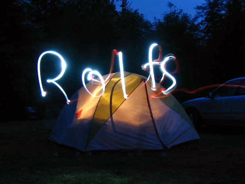
- The entire loop can be done as a day hike or as a camping trip. Campsites available on the ocean or at the lake!
- The hike lets you experience the lush greenery, beautiful boardwalks and a three mile hike on the beach.
- The beach section passes by 'Wedding Rocks' where a number of Makah petroglyphs remain for you to ponder over.
Those of you short on patience may be interested in jumping into the details via one of the following links:
WTA Lake Ozette Hike info
Olympic National Park
Lake Ozette via Wikipedia
Lost Resort (a great choice for trail head camping since the National Park Campground may already be full, and yes, they do have cabins).
Instead of trying to squeeze the round trip hike plus round trip travel into one day, we opted to camp out near the trail head at Lost Resort the night before and then drive home after we finished the hike.
Coming from Skagit County, I opted to take they Keystone - Port Townsend Ferry across Puget Sound to save on the travel time (reservations not required but highly recommended). In Port Townsend I met up with my dad for carpooling the rest of the way. We were able to leave a vehicle in a Transit Authority parking lot right next to the Safeway Store on Hwy 101 in Port Townsend -- if you do this, be sure to call the Transit Authority (their number is on a sign in the parking lot) and let them know (it's free & you won't get towed).
We met up with Rachel and Steve in Port Angeles where we did a little pre-dinner grocery shopping & grabbed Subway sandwiches for lunch. From there we followed Hwy 101 to Hwy 112 and then following the Hoko-Ozette Road to its end.
The rain started upon our arrival.

As we expected, the rain was rather brief. We spent some time just hanging out letting the area dry out a bit before we set up our tent. This was followed by dinner, a little exploration of the resort and some trail head scouting and a drive through the National Park Campground. In our opinion, the Lost Resort is a better spot for camping.
Eventually the daylight faded and we went to bed, anticipating an early start for hiking.
Rainfall during the night was minimal and the temperatures were quite comfortable in the morning.
We awoke, had breakfast and were on the trail shortly after 8am or so. Take note that the deli/restaurant at Lost Resort doesn't open until at least 9am (maybe later, check their website).
At the trail head you'll need to fill out an envelope with your pass info or to pay your entrance fee (cash or check).
There were already a lot of cars at the trail head when we arrived. Clearly, most of these people were camping out on the beach.
Our hike started by crossing a bridge over the Ozette River, followed shortly by a trail junction.


We chose to do the loop in a counter-clockwise direction and set out for Cape Alava.
We quickly encountered our first boardwalk and a bridge over a creek or wet area.
Please note that many websites and literature indicate the boardwalks are slippery. The indeed can be, but we had very few instances of slippery footsteps. We also had hiking poles with us just in case we felt we might need them on the slippery boards, but they really were not necessary here (we did find them very nice to have on the beach though).
Also, some sources indicate the cedar boardwalks are being replaced with a less slippery composite material. We only indicated one short section (maybe 100 yards in length) of the new material. Everything else was native wood.
Here are a few photos from this 3.1 mile section from the Ranger Station to Cape Alava.


Here is "Ahlstrom's Prarie", named after Lars Ahlstrom who was at one point in time the westernmost homesteader in the country. He is reportedly responsible for creating the causeway which this trial follows. Also, since our visit out there I have learned that you can find native Washington 'Sundew' plants out here. Sundew plants are unique in that they are carniverous - they attrack, capture and consume insects via a sweet smelling but very sticky substance produced by hairs on it's leaves.


We arrived at Cape Alava in good time. We also were lucky enough to have the entire trail to ourselves for this first segment.
Unfortunately, we were too early for sunshine and we entered the beach in a dense fog bank... at low tide.
We could hear the ocean but we couldn't see the ocean.
Stay tuned for Part 2.... the beach hike from Cape Alava to Sand Point (teaser: we did eventually get to see the ocean).
In the meantime, here is our gps track for the day. At this point in the story we have traveled the upper segment from the lake on the east side to the coast on the west.

Click here for Part 2.
Happy Hiking!
~E
No comments:
Post a Comment