This was my first visit to this trail.
The drive down was quite wet, but once out of Issaquah, the sky began to lighten up and the roads were completely dry at the trail head! What luck!
Maybe it was the fact that yesterday was spent building a fence, using numerous long-lost muscles, but the first half hour ascending this trail was a tough go. Eventually things loosed up and the pace picked up a bit.
Only crossed paths with seven others from the John Wayne trail to the summit and back. Wow. I expected at least double that.
Really enjoyed checking out the climbing overhang area. Called "Deception Crags", a lot of locals come to this area to scale the cliffs and practice their climbing skills.
Also found the water pouring out of the hole in the rock (video coming, eventually) and then disappearing into an underground creek to be another really cool feature. Does it do that all the time or only when the runoff is high?
Both features helped make the elevation grind more acceptable.
Took a picture of a trail sign, but when I loaded the pic to the computer at home, this guy was staring at me and I hadn't noticed.

Finally reached the Owl Hike Spot and took a couple pics. The Owl Hike spot is a popular turnaround point for many people.


Someone dropped a green Lands End fleece cap in one of the open/talus areas. It's hanging on a limb next to the trail. You won't miss it (if someone doesn't move it).
Crossed a creek and ran into this guy.

At the pond/tarn the clouds started to roll in and the rain started coming down very lightly.
About a mile from the summit five people were descending, then I passed a couple nice ladies about a 3/4 mile from the summit. One of them is training for a climb of Shasta in the next couple weeks. Sure hope she had a safe trip -- recent avalanche warnings have been issued for the western higher peaks.
At the last road crossing the rain started to fall faster and heavier, so out came the raincoat and hat before the final ascent to the summit.
Really special view of Chester Morse Reservoir and Dam is available from the ridge, but it was hard to photograph in the wet/cloudy conditions.


At the summit, the clouds had rolled in, leaving only a view of I-90. Decided to see how close a zoom is at 10X optical and whatever my full digital zoom is. Once back at home, I noticed the speed trap in the 10x view... he was still there on my drive home.


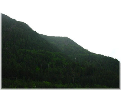
Made an uneventful descent back to the Iron Horse trail with only one picture back toward the summit.

Since it was in the neighborhood, and I missed it on my last visit, I had to go check out the Change Creek bridge before leaving. It was a bit further than I anticipated, but at least it was flat.

Really pretty view down to the creek. This is my favorite pic of the day.

It was a bit alarming to find a sink hole in the middle of the bridge. eek.gif


Finally, turned around and wandered back to the car with one final parting shot.
Great Day, really quiet, relaxing yet exhausting.
Link to Part 1 which is a video with a few entertaining subtitles, reducing the full day down to less than three minutes.
Topo Map of my route for the day:

~E
No comments:
Post a Comment